
| To find links for a specific country, click on its initial letter here: |
|
If you don't find the country name you're looking for here, try the Country cross-reference page.
| Country | Primary | Secondary | Stats  | Postcode | Maps | TZs |
|---|---|---|---|---|---|---|
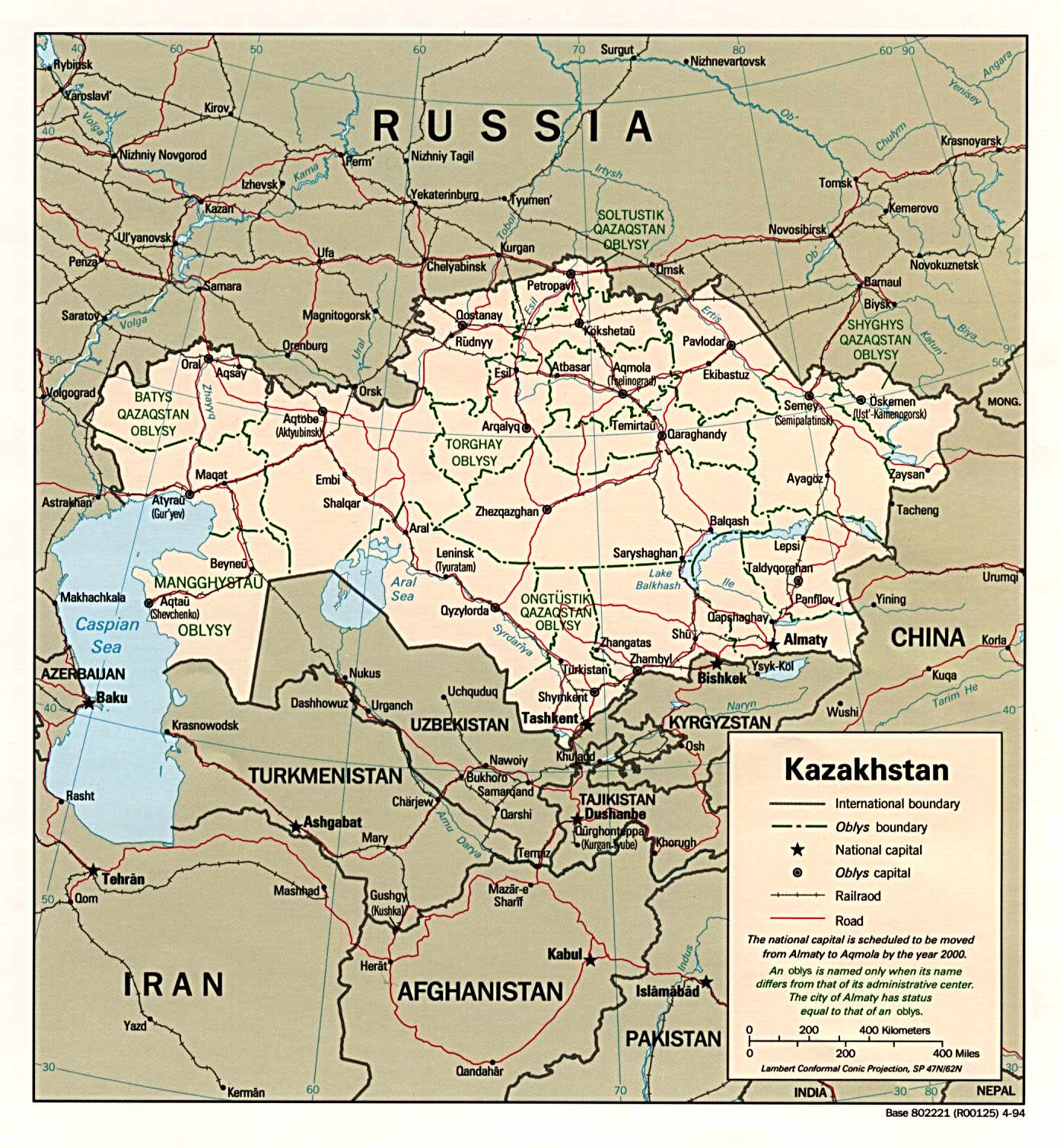
| Kazakhstan | region | rayon | Stats Stats Stats | Post | Clik CIA Mgl PDF PDF | Zones |
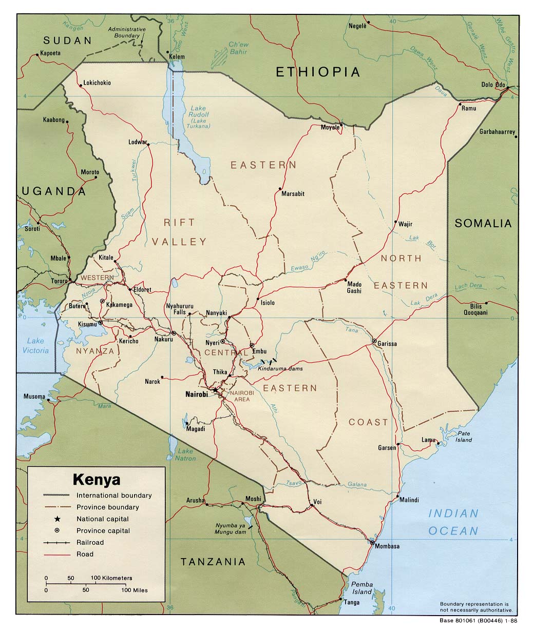
| Kenya | county | district | Stats | CIA Map Mgl PDF | +03:00 | |
| Kiribati | island group | Stats | CIA Mgl | Zones | ||
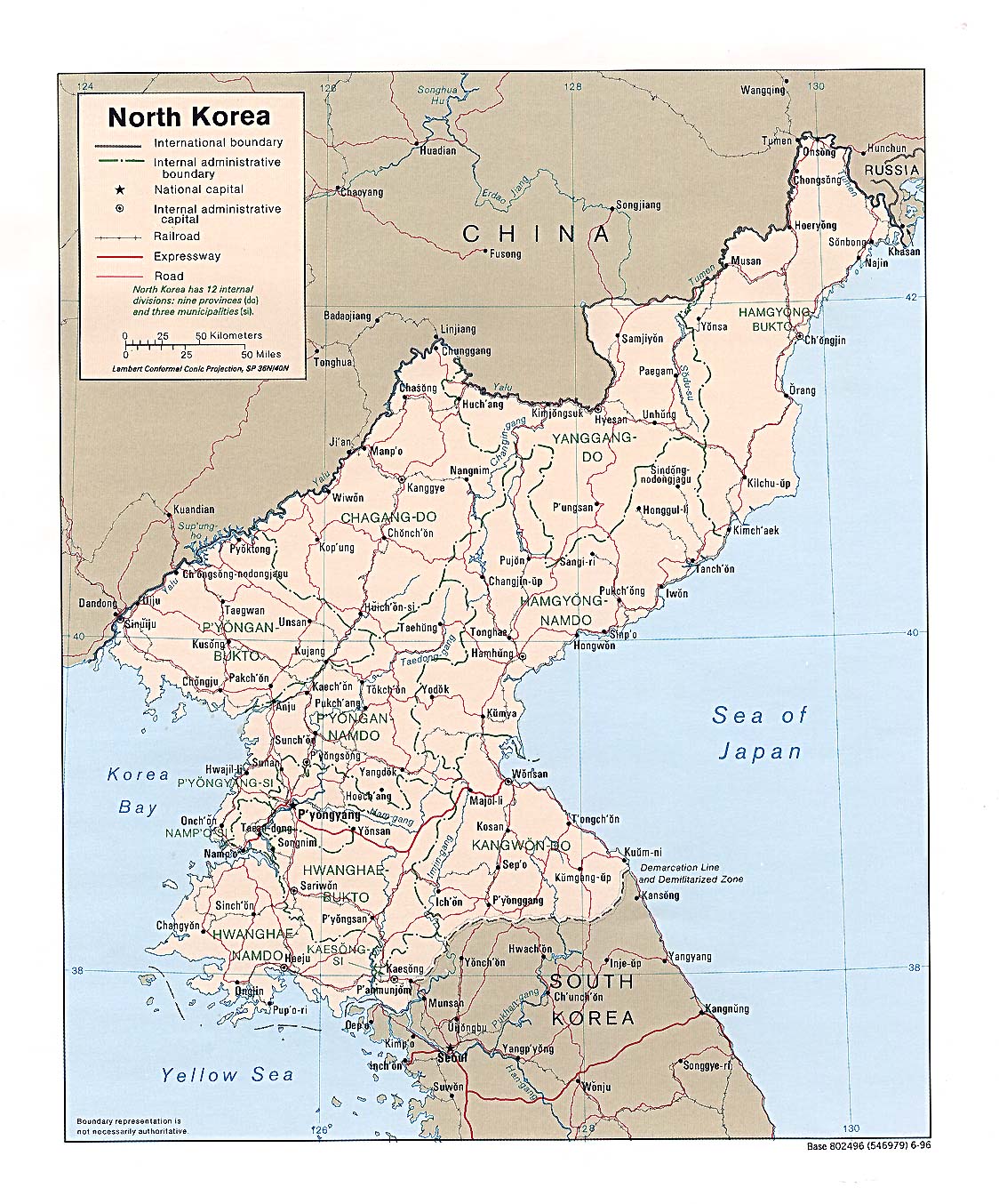
| Korea, North | province | county | PDF CIA Map Map Mgl | +08:30 | ||
| Korea, South | province | county | Stats Stats | CIA Map Map Mgl | +09:00 | |
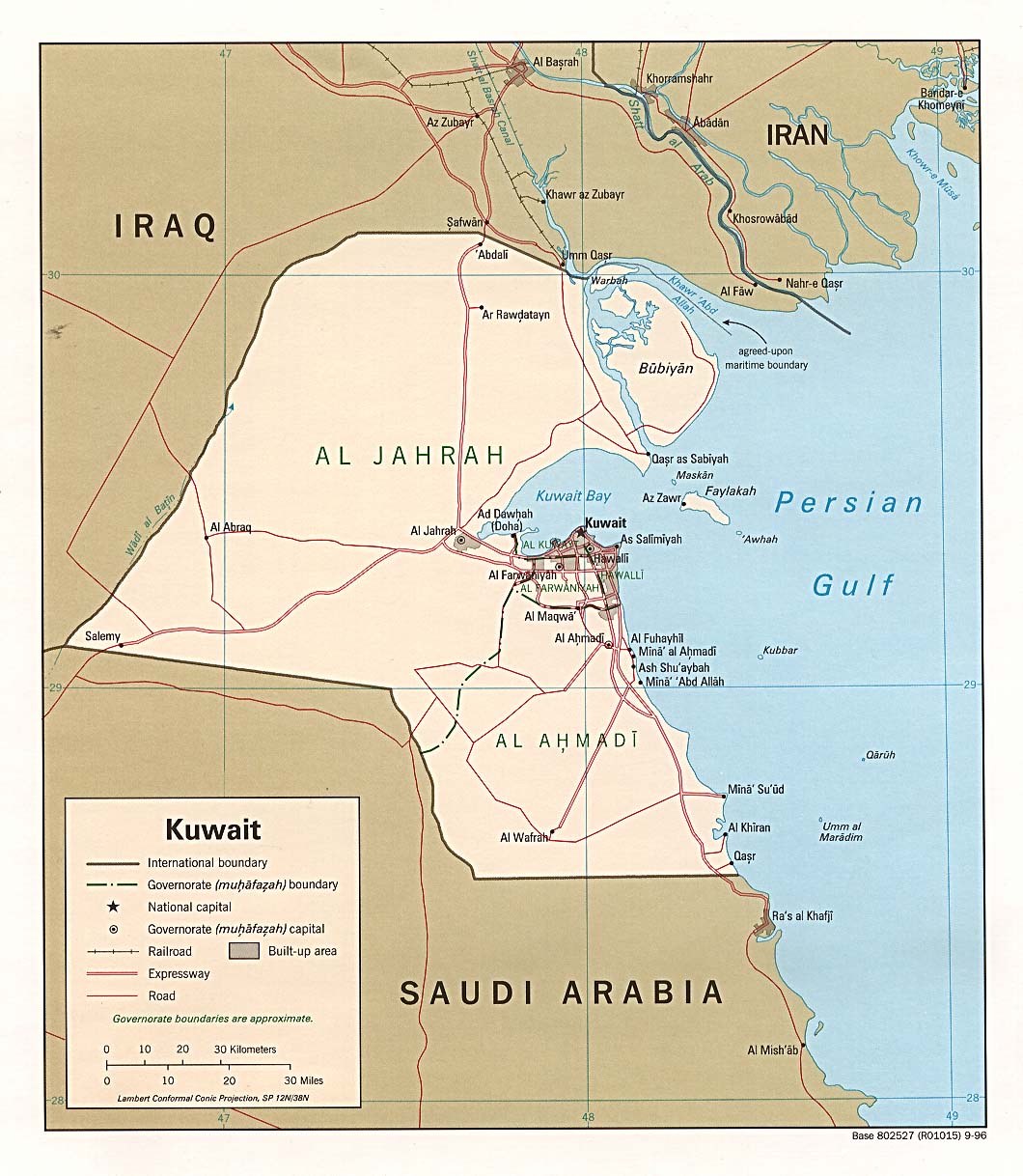
| Kuwait | governorate | Stats Stats Stats | CIA | +03:00 | ||
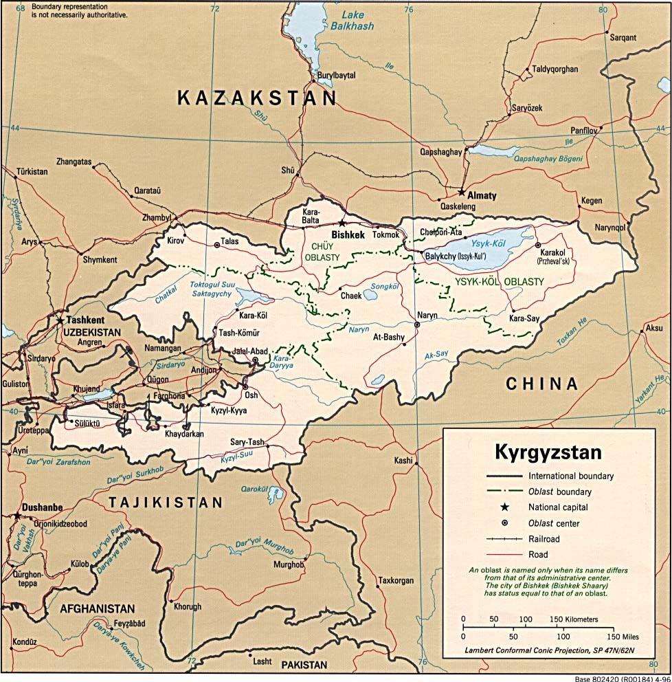
| Kyrgyzstan | region | district | Stats Stats | PDF CIA Map Map Maps Mgl | +06:00 | |
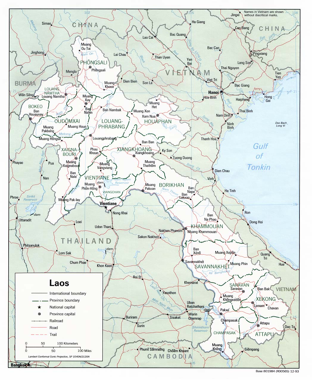
| Laos | province | district | Stats | CIA Map Map Mgl PDF PDF | +07:00 | |
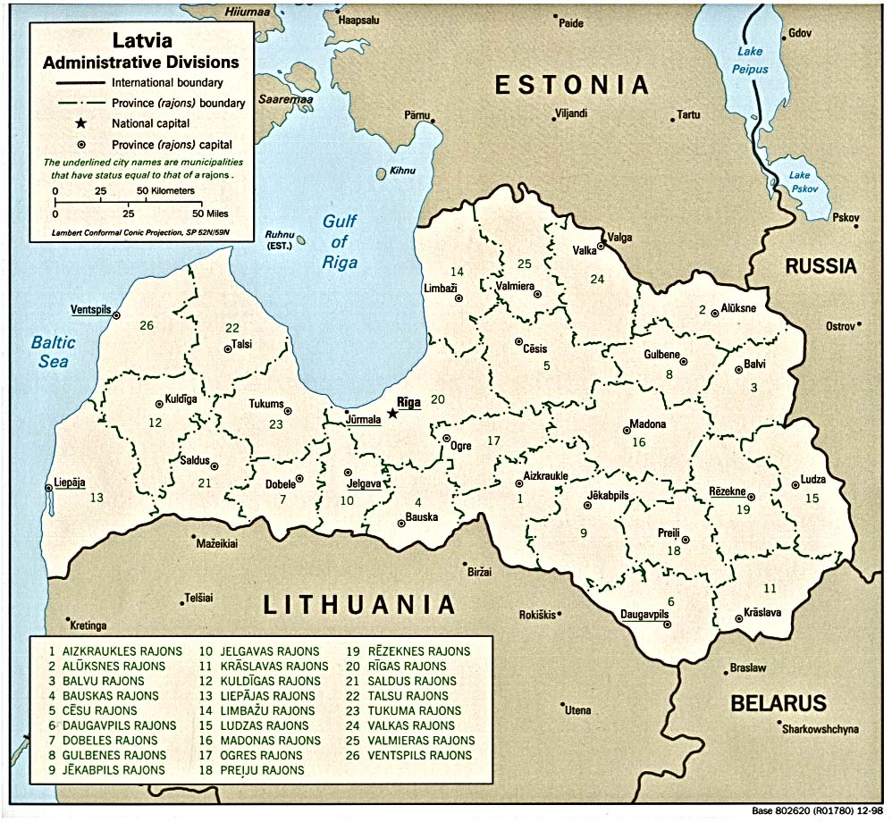
| Latvia | municipality | Stats Stats Stats | Post | CIA Clik PDF PDF | +02:00 D | |
| Lebanon | province | county | Stats Stats Stats | CIA Clik Map Mgl PDF | +02:00 D | |
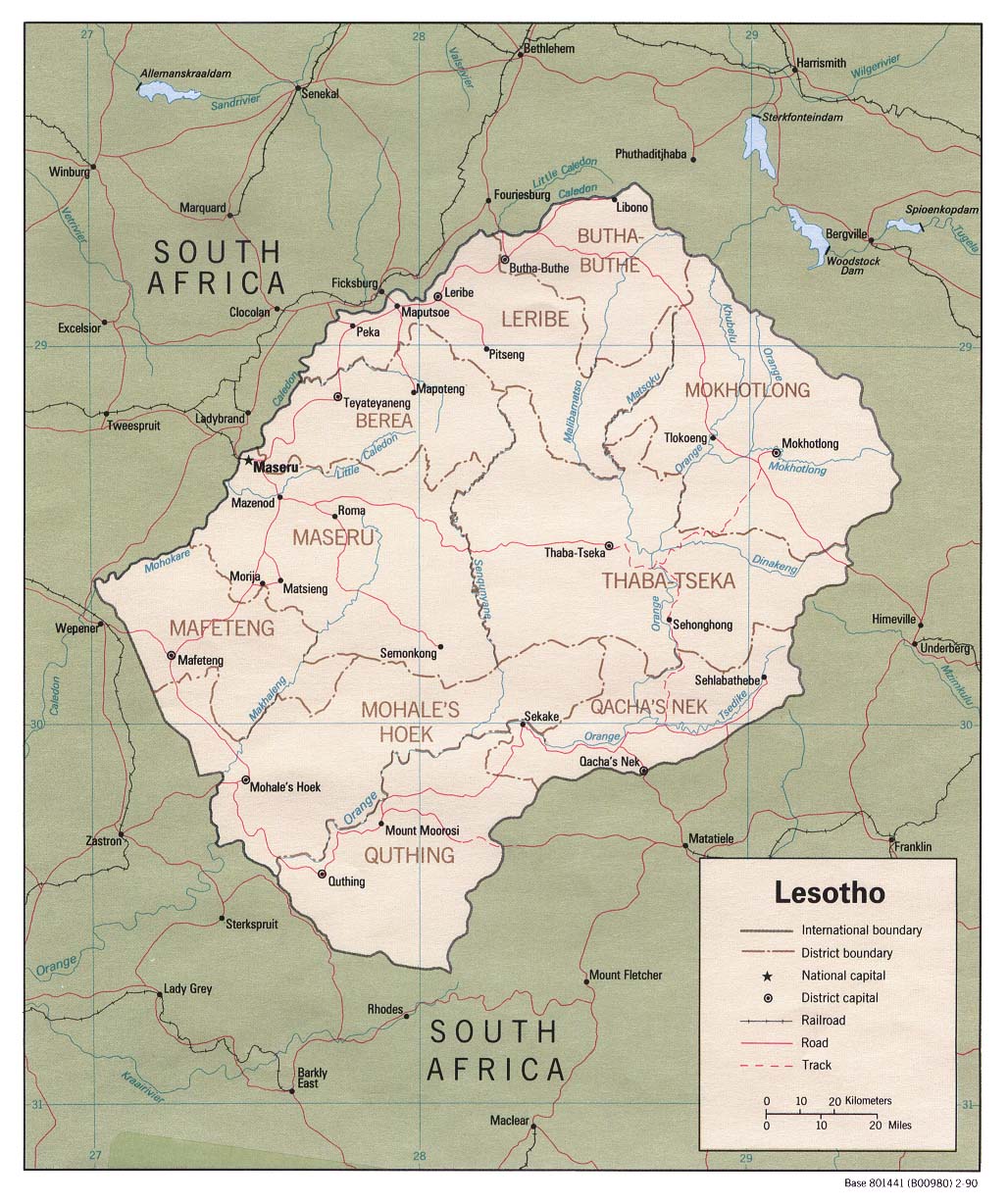
| Lesotho | district | council | Stats | CIA Map Mgl | +02:00 | |
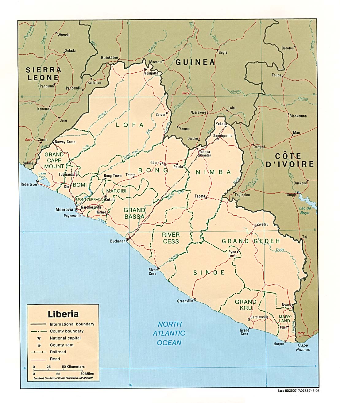
| Liberia | county | district | Stats | PDF CIA Map Map Mgl PDF | 00:00 | |
| Libya | district | PDF CIA Mgl | +02:00 | |||
| Liechtenstein | commune | Stats Stats Stats Stats Stats Stats | List | Map | +01:00 D | |
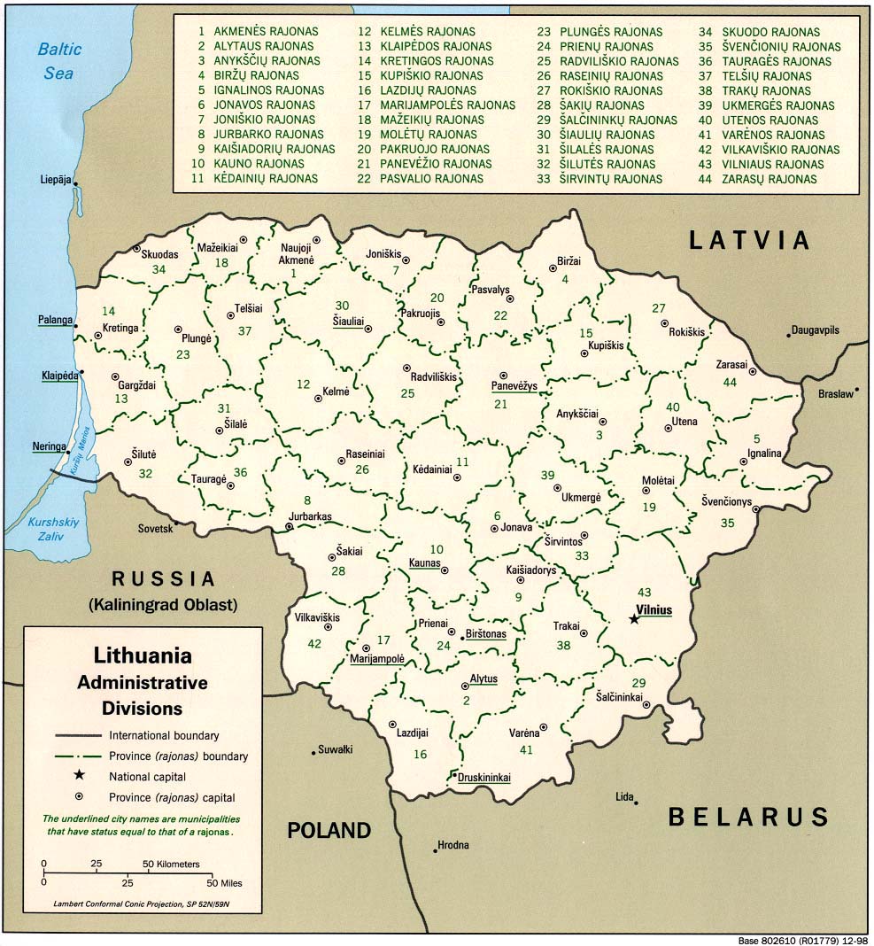
| Lithuania | county | municipality | Stats Stats Stats Stats Stats Stats Stats Stats Stats Stats | Post Post | CIA | +02:00 D |
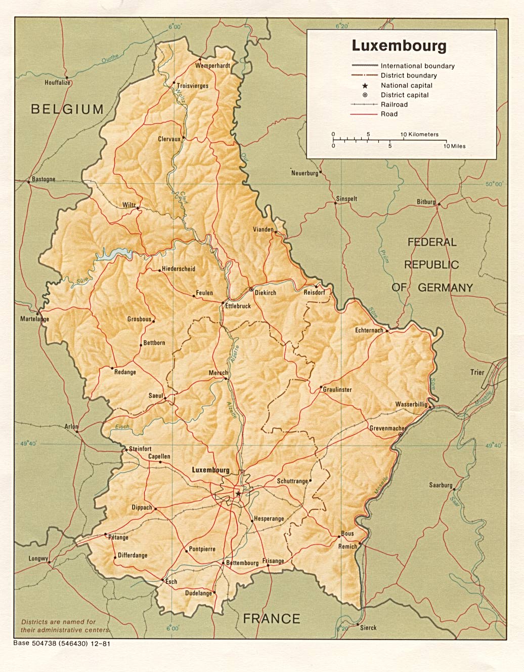
| Luxembourg | district | commune | Stats Stats Stats Stats | Post Post | CIA Map Mgl | +01:00 D |
| ||||||
| To find links for another country, click on its initial letter here: |
|
| To find out which pages on this site have recently been updated, visit the newsletter page. |
This is the land which ye shall divide by lot... - Ezek. xlviii:29a.
| Back to main statoids page | Contact me |
| Copyright © 1999-2015 by Gwillim Law. | |