
| To find links for a specific country, click on its initial letter here: |
|
If you don't find the country name you're looking for here, try the Country cross-reference page.
| Country | Primary | Secondary | Tertiary | Stats | Postcode | Maps | TZs |
|---|---|---|---|---|---|---|---|
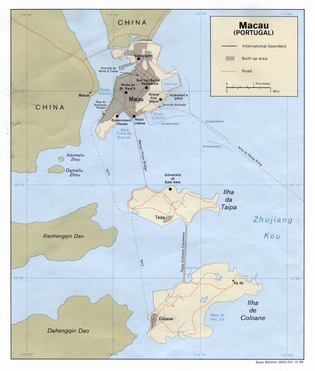
| Macau | district | parish | Stats | CIA | +08:00 | ||
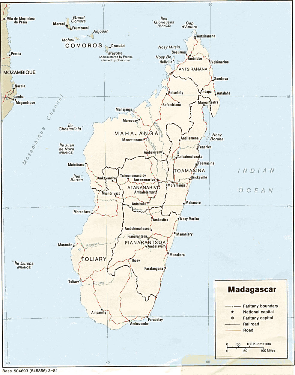
| Madagascar | province | region | Stats | CIA Map Mgl | +03:00 | ||
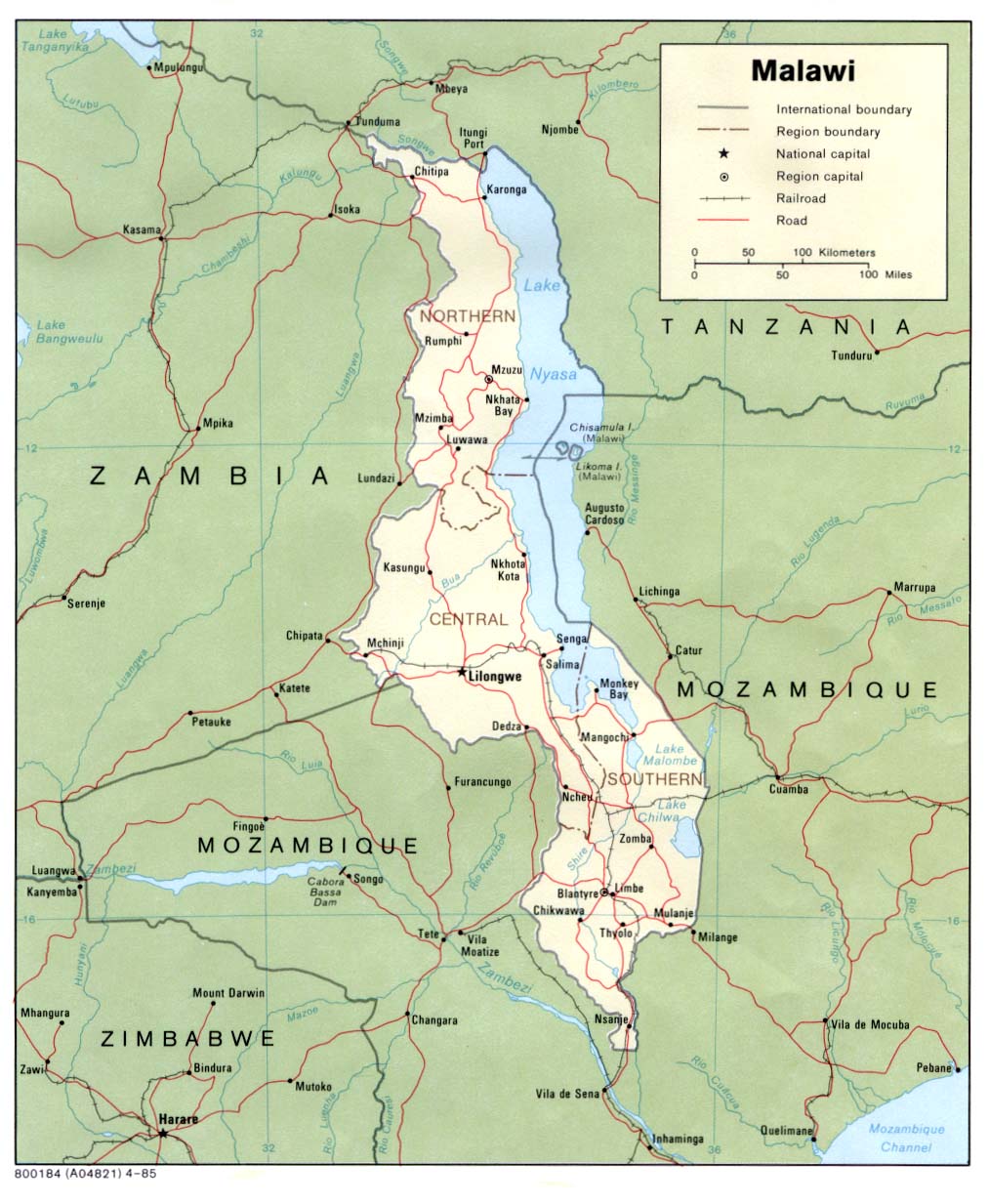
| Malawi | district | Stats Stats | Atlas CIA Map Mgl PDF | +02:00 | |||
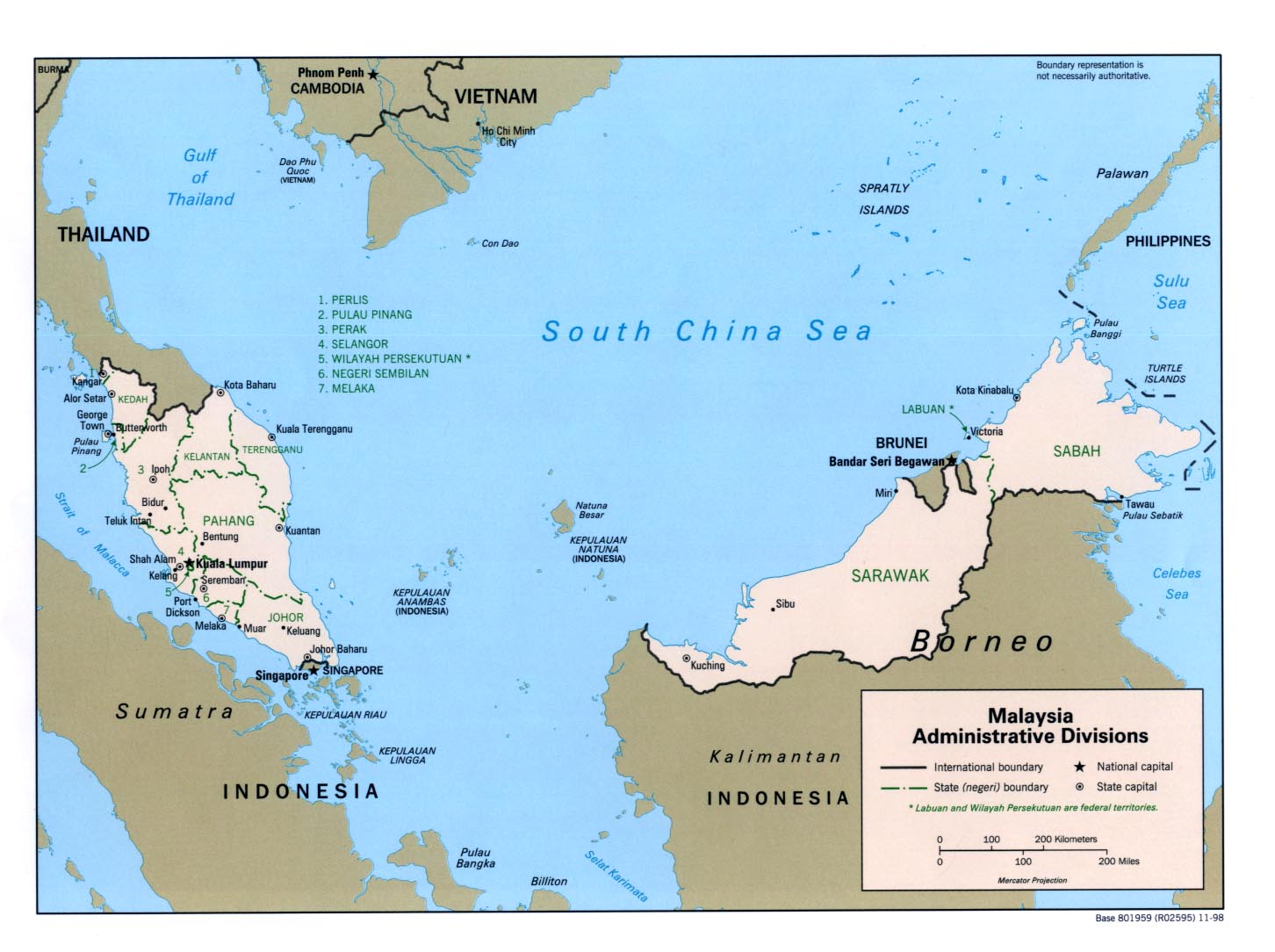
| Malaysia | state | district | Stats Stats | Post | CIA Mgl | +08:00 | |
| Maldives | atoll | Stats Stats Stats | Map Map | +05:00 | |||
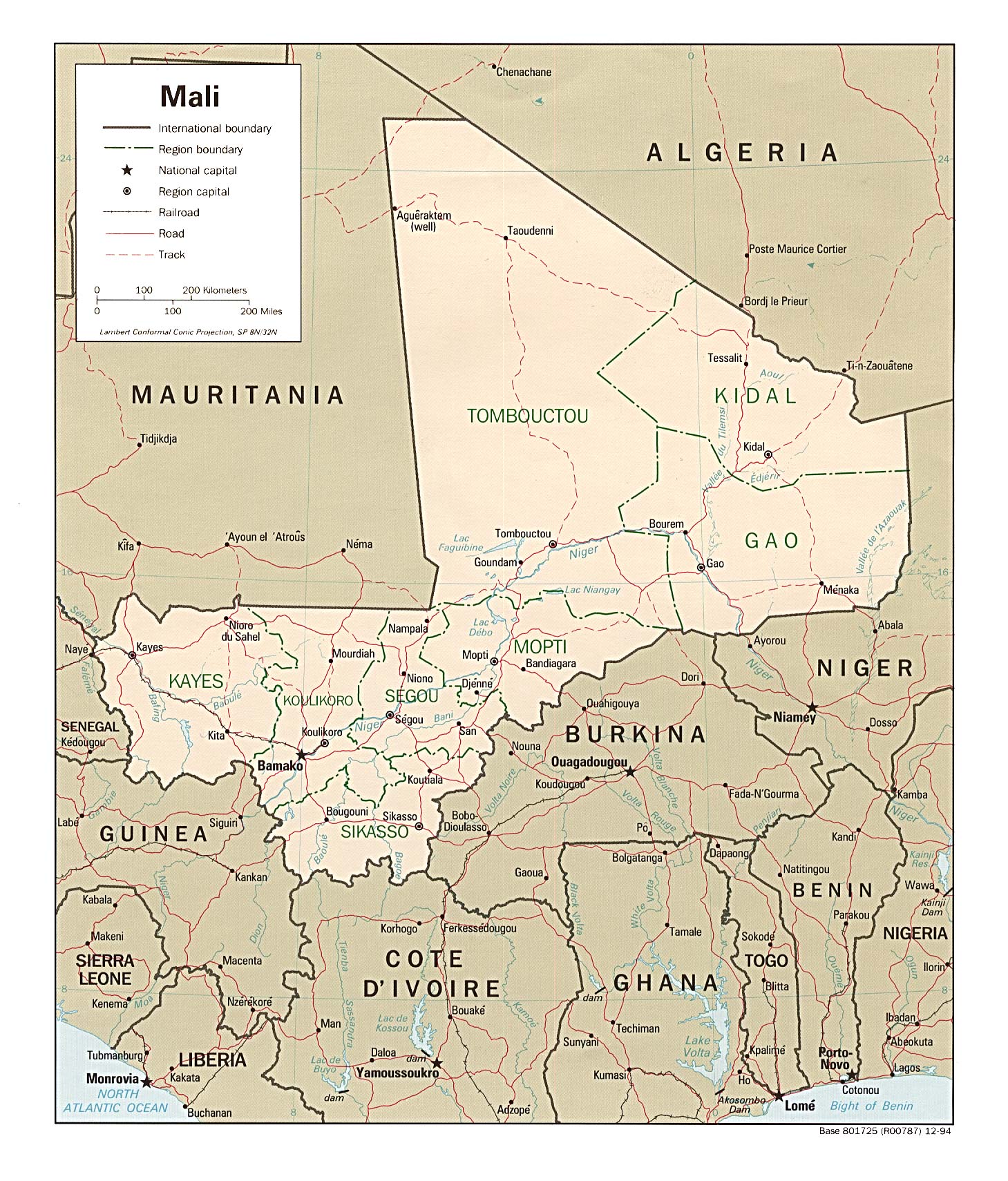
| Mali | region | circle | CIA Map Map Map Mgl PDF PDF | 00:00 | |||
| Malta | region | locality | Stats Stats Stats | Map Map | +01:00 D | ||
| Marshall Islands | none | municipality | Stats Stats Stats Stats Stats | Atlas Mgl | +12:00 | ||
| Martinique | arrondissement | commune | Stats | Map | -04:00 | ||
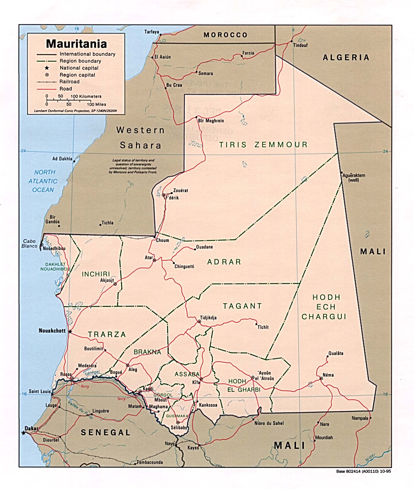
| Mauritania | region | department | commune | Stats Stats | CIA Map Mgl | 00:00 | |
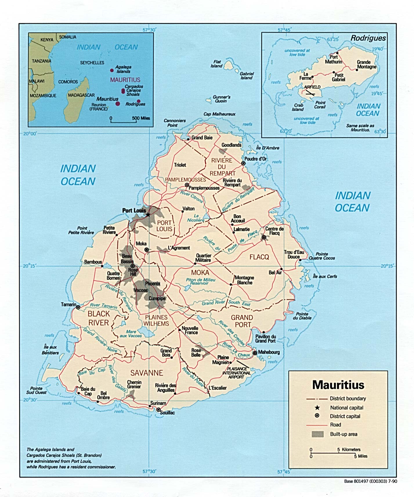
| Mauritius | district | Stats Stats Stats Stats | CIA Map Mgl | +04:00 | |||
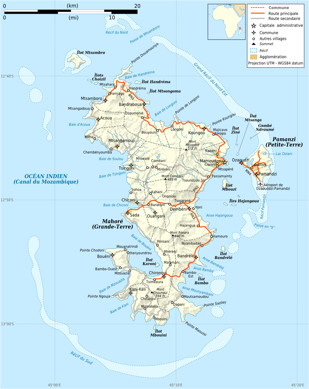
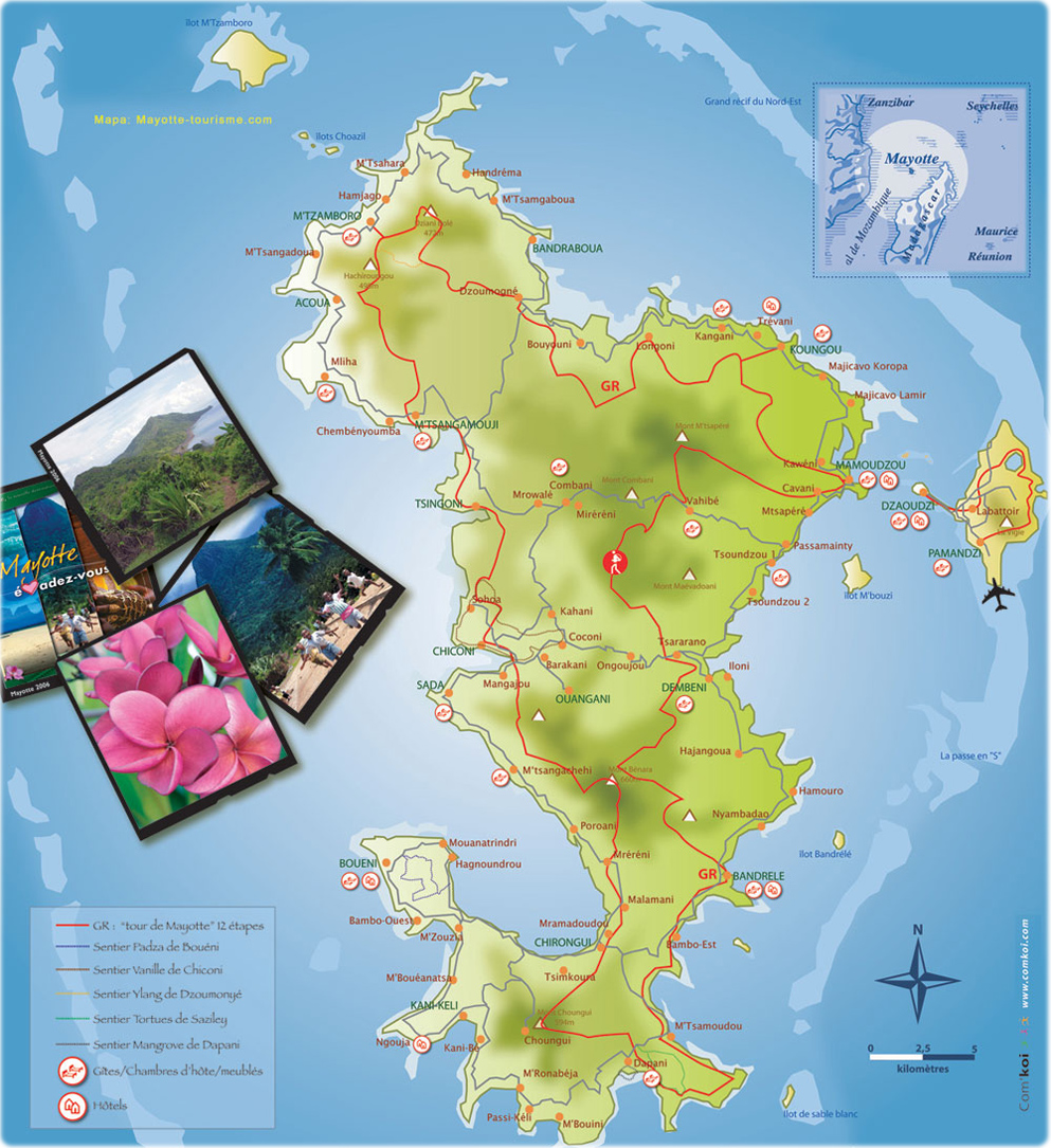
| Mayotte | none | commune | Map Map | +03:00 | |||
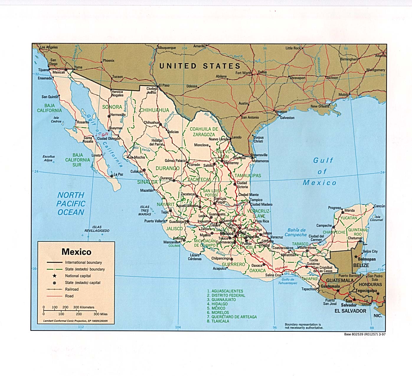
| Mexico | state | municipality | Stats Stats Stats Stats Stats | Atlas Atlas CIA Map Map Mgl PDF | Zones D | ||
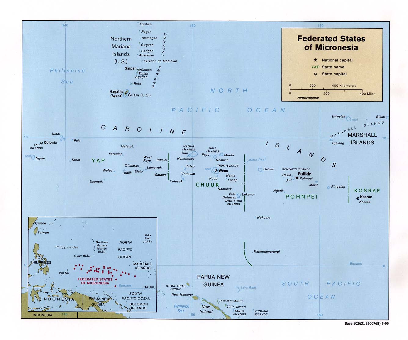
| Micronesia | state | municipality | Stats Stats Stats Stats Stats Stats | CIA | Zones | ||
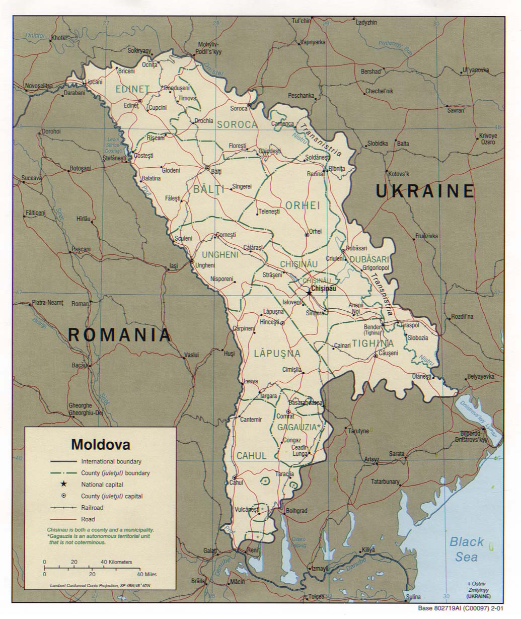
| Moldova | district | Stats Stats Stats Stats Stats Stats | CIA Map PDF PDF | +02:00 D | |||
| Monaco | commune | Stats Stats Stats Stats | +01:00 D | ||||
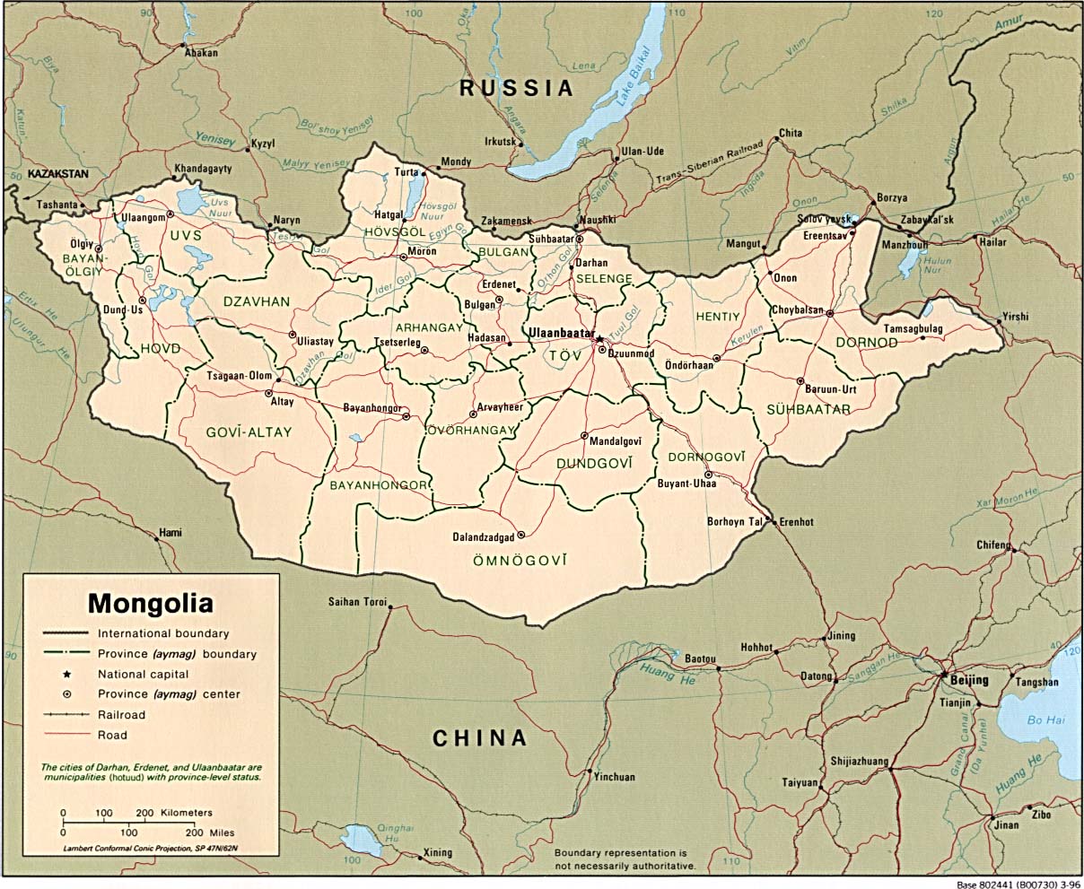
| Mongolia | province | soum | Stats Stats Stats Stats | CIA Map Mgl PDF PDF | Zones | ||
| Montenegro | commune | settlement | Stats Stats | CIA Mgl | +01:00 D | ||
| Montserrat | parish | Custom | -04:00 | ||||
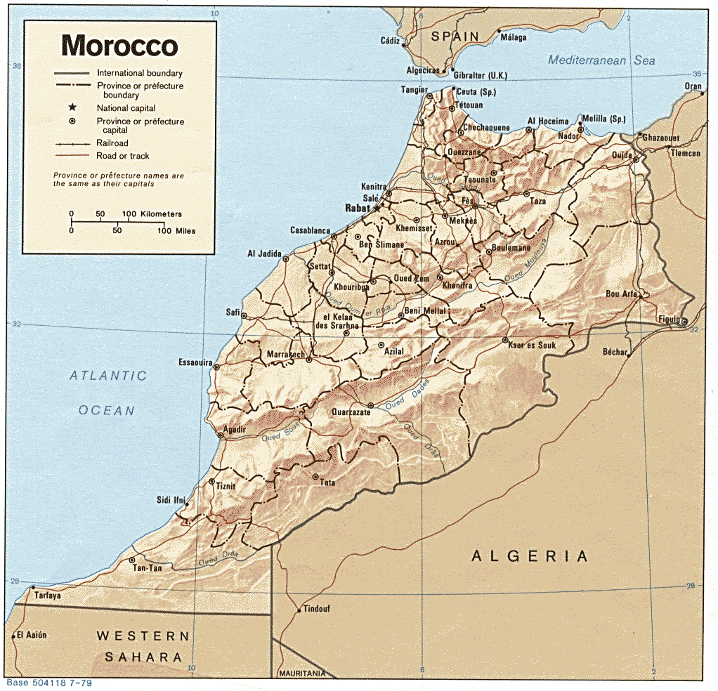
| Morocco | region | prefecture | Stats Stats | Post Post | CIA Mgl PDF | 00:00 D | |
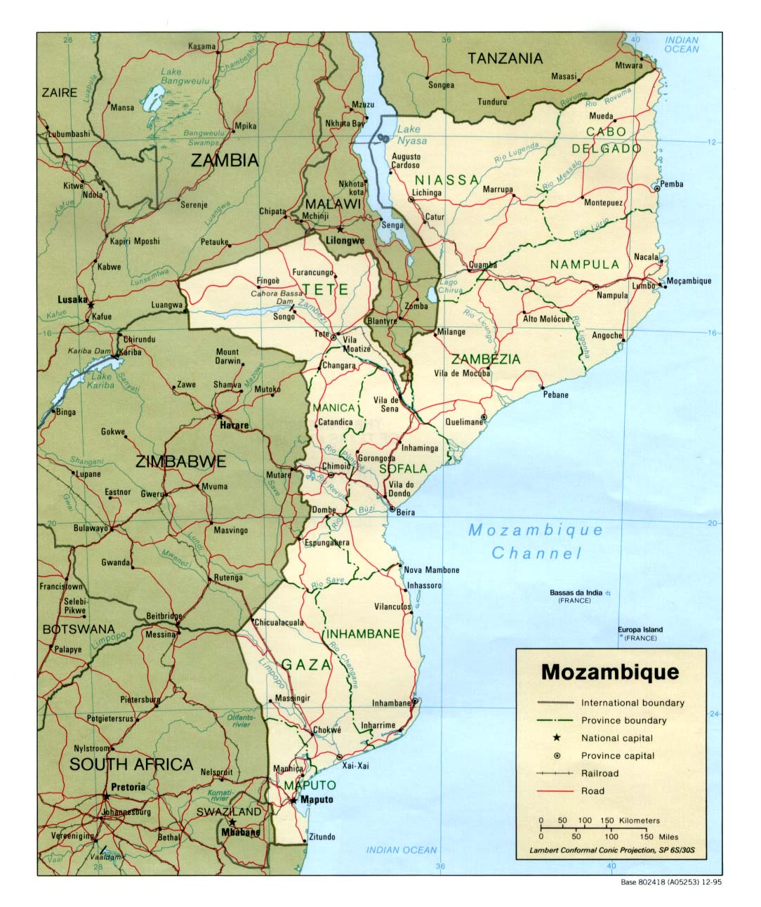
| Mozambique | province | district | Stats | Post | CIA Map Map Mgl PDF PDF PDF | +02:00 | |
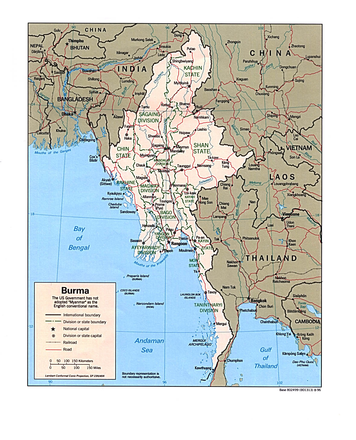
| Myanmar | region | district | Stats Stats | CIA Mgl PDF PDF | +06:30 | ||
| |||||||
| To find links for another country, click on its initial letter here: |
|
| To find out which pages on this site have recently been updated, visit the newsletter page. |
Ahasuerus ... reigned, from India even unto Ethiopia, over an hundred and seven and twenty provinces. - Esth. i:1b.
| Back to main statoids page | Contact me |
| Copyright © 1999-2015 by Gwillim Law. | |