
| To find links for a specific country, click on its initial letter here: |
|
If you don't find the country name you're looking for here, try the Country cross-reference page.
| Country | Primary | Secondary | Stats  | Postcode | Maps | TZs |
|---|---|---|---|---|---|---|
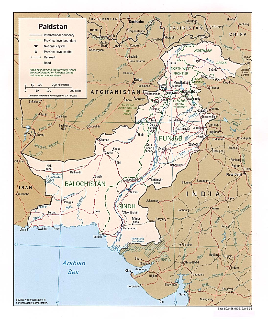
| Pakistan | province | division | CIA Mgl PDF PDF | +05:00 | ||
| Palau | state | CIA | +09:00 | |||
| Palestine | district | governorate | +02:00 D | |||
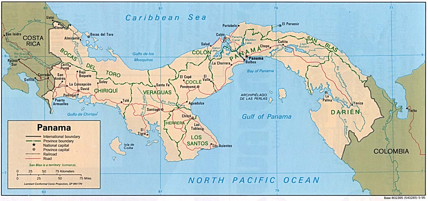
| Panama | province | district | Stats Stats | CIA Mgl PDF | -05:00 | |
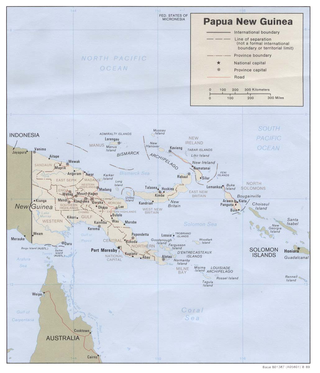
| Papua New Guinea | province | district | Stats | CIA Map Mgl PDF | +10:00 | |
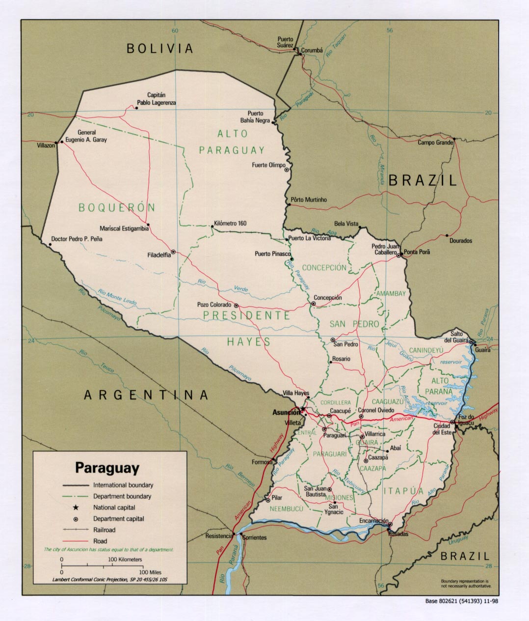
| Paraguay | department | district | Stats | Post | CIA Mgl PDF PDF | -04:00 D |
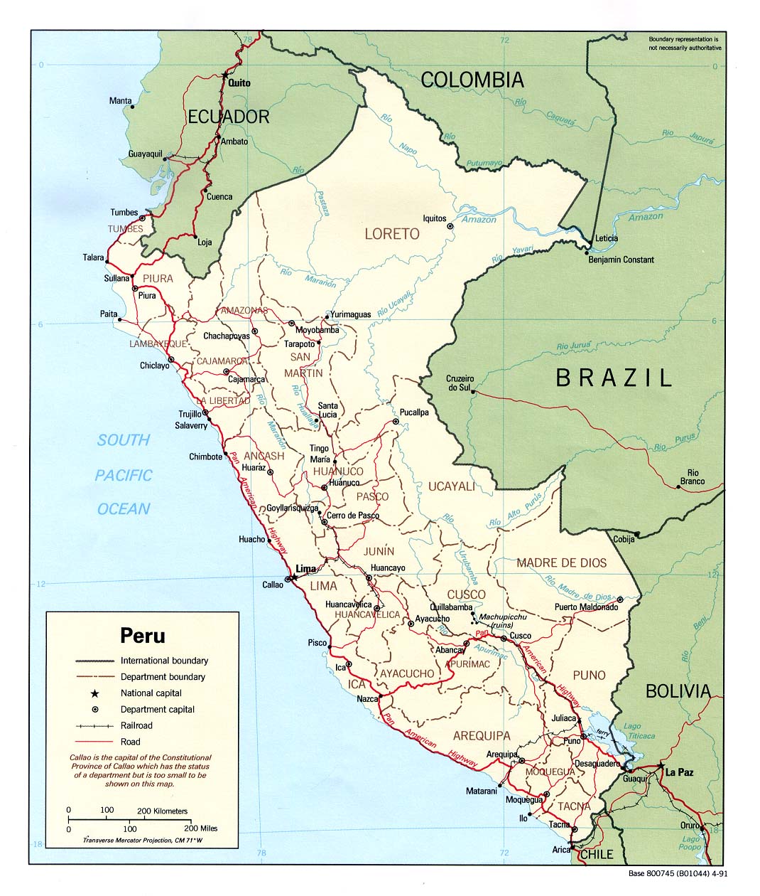
| Peru | region | province | Stats | CIA Clik Mgl PDF PDF | -05:00 | |
| Philippines | province | municipality | Stats Stats Stats | Post Post | CIA Atlas Mgl PDF | +08:00 |
| Pitcairn | none | -08:00 | ||||
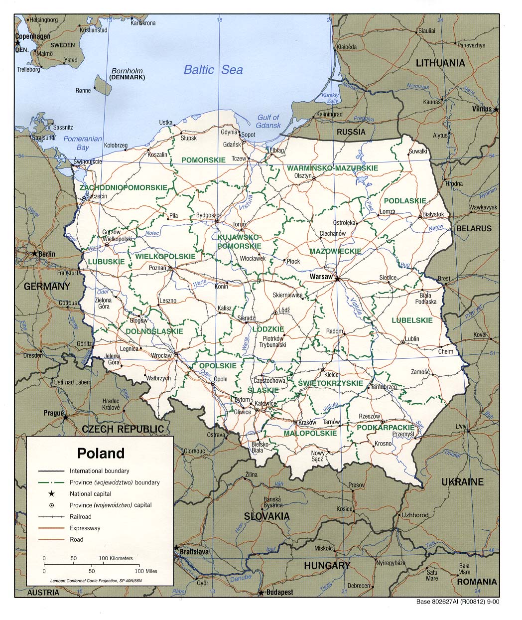
| Poland | voivodship | county | Stats | CIA Map Mgl PDF PDF | +01:00 D | |
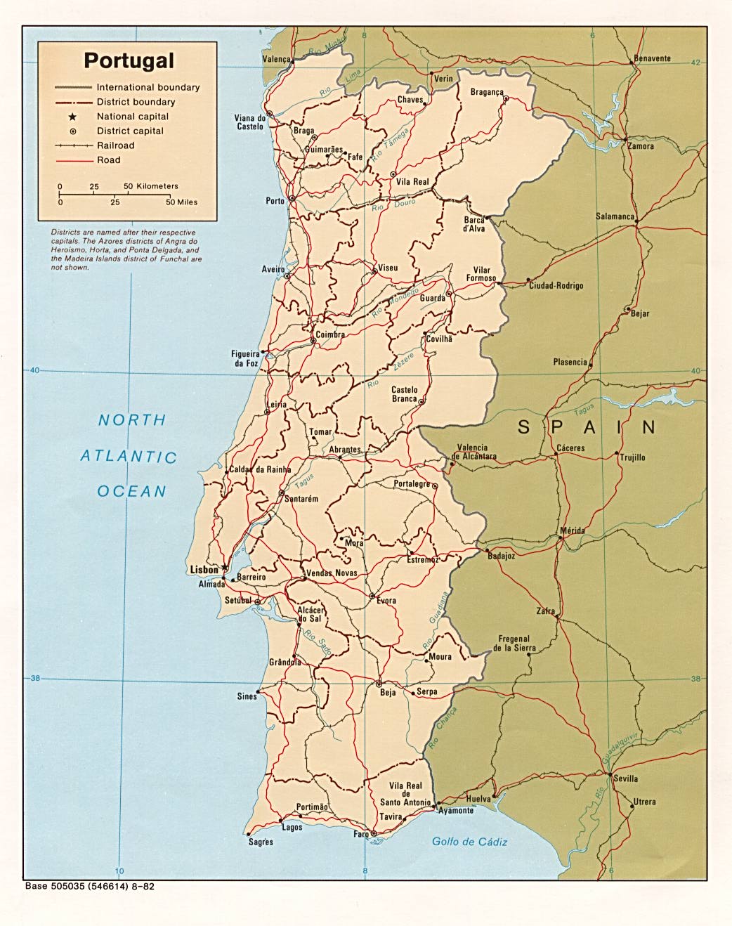
| Portugal | district | municipality | Stats Stats Stats Stats Stats | CIA Mgl | Zones D | |
| Puerto Rico | municipality | barrio | Stats | Post | -04:00 | |
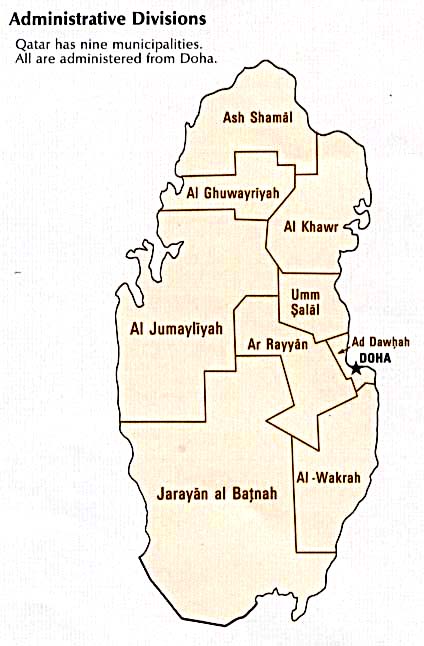
| Qatar | municipality | Stats Stats Stats Stats | CIA Map | +03:00 | ||
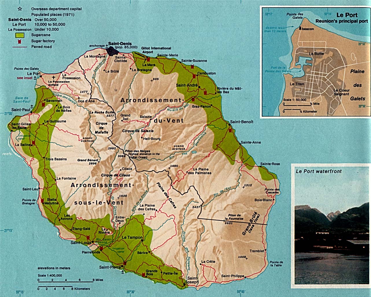
| Reunion | arrondissement | commune | Stats | CIA Mgl | +04:00 | |
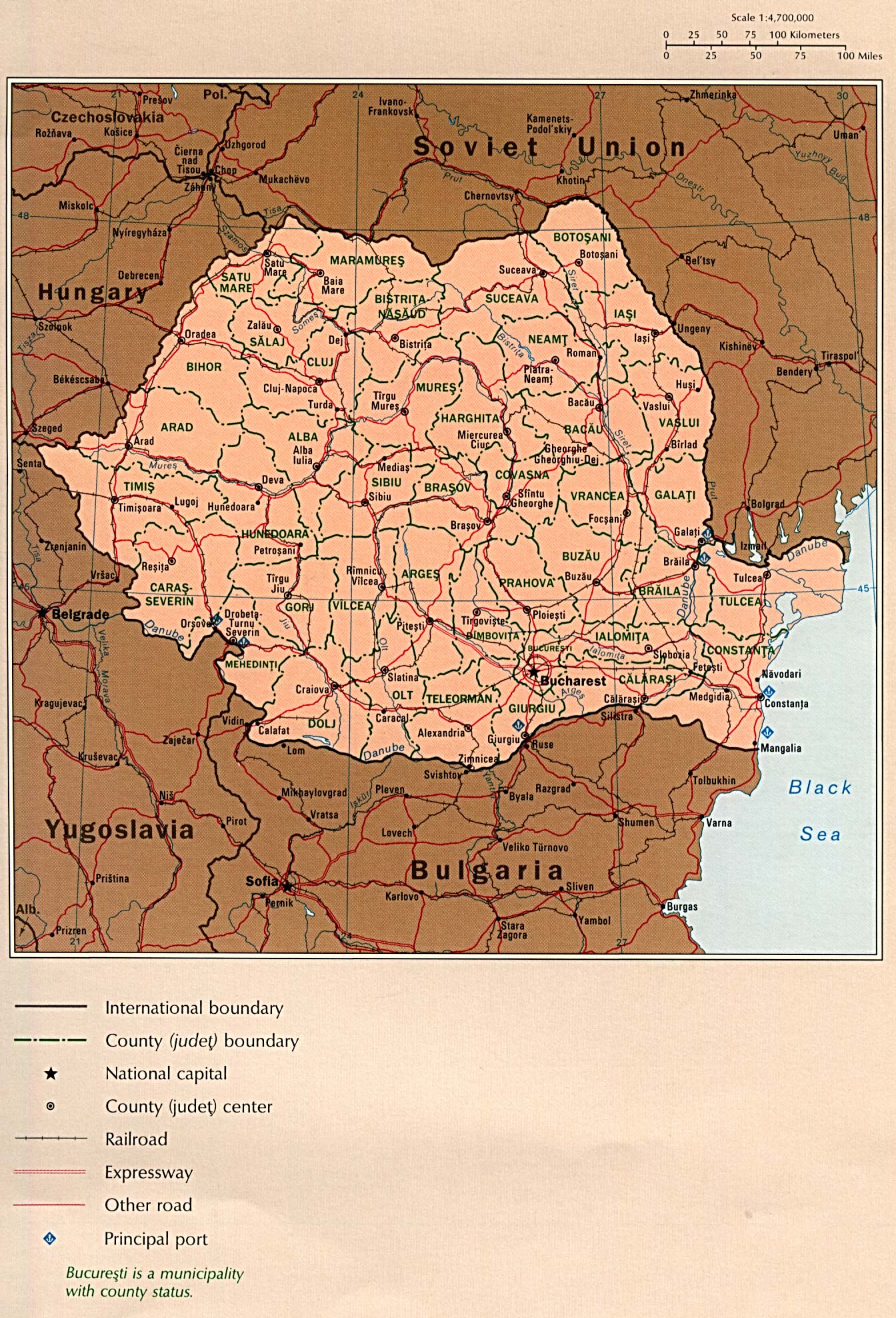
| Romania | county | commune | Stats | CIA CIA Mgl PDF | +02:00 D | |
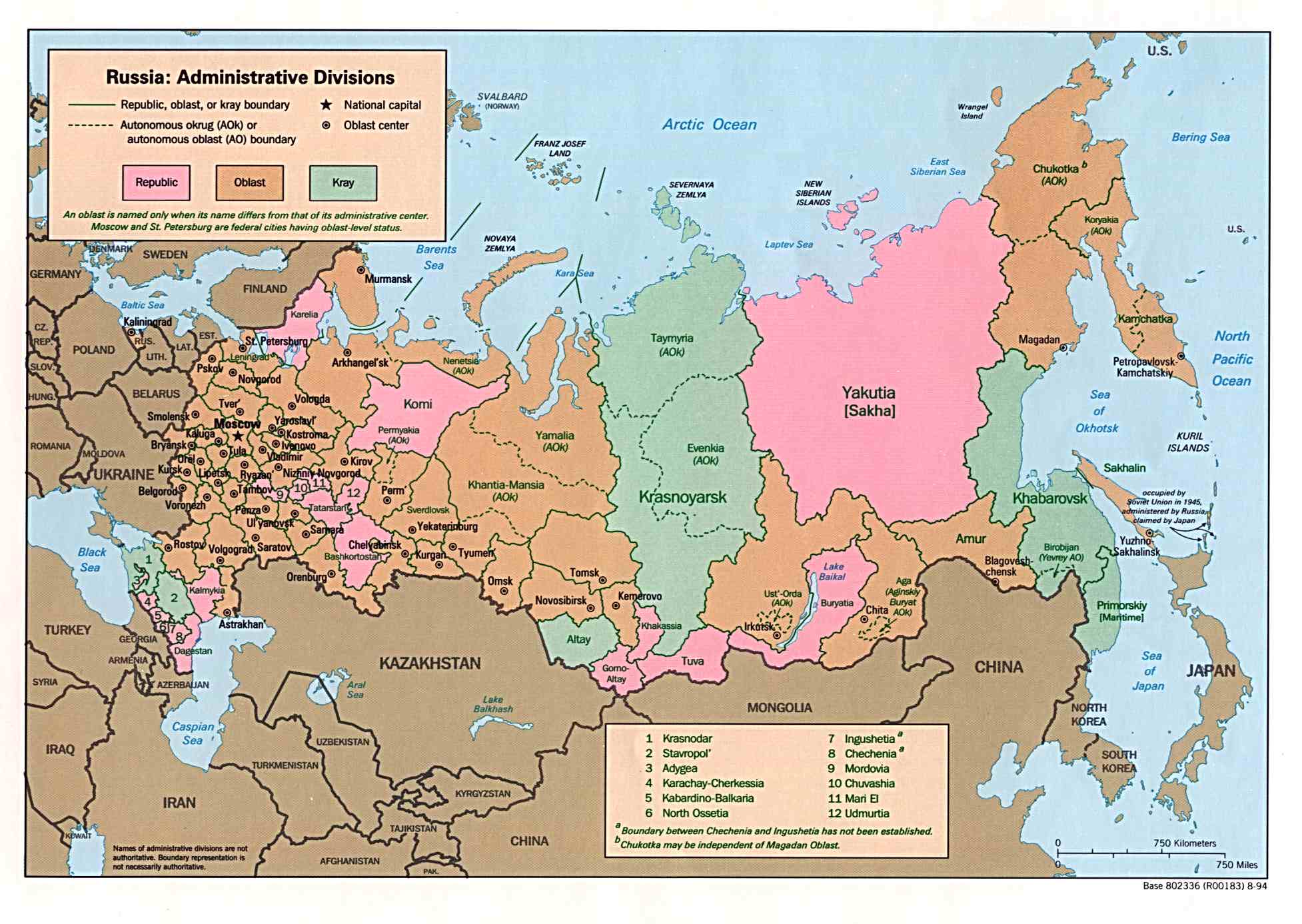
| Russian Federation | subject | raion | Stats | Post | CIA Clik Map Mgl PDF | Zones |
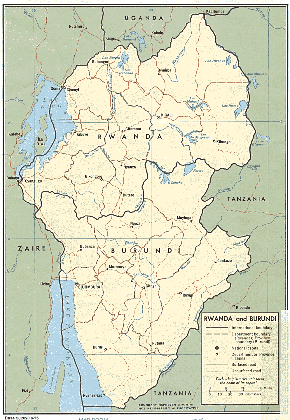
| Rwanda | province | district | Stats Stats Stats | CIA Mgl PDF | +02:00 | |
| ||||||
| To find links for another country, click on its initial letter here: |
|
| To find out which pages on this site have recently been updated, visit the newsletter page. |
Yes verily, their sound went into all the earth, and their words unto the ends of the world. - Rom. x:18b.
| Back to main statoids page | Contact me |
| Copyright © 1999-2015 by Gwillim Law. | |