
| To find links for a specific country, click on its initial letter here: |
|
If you don't find the country name you're looking for here, try the Country cross-reference page.
| Country | Primary | Secondary | Stats  | Postcode | Maps | TZs |
|---|---|---|---|---|---|---|
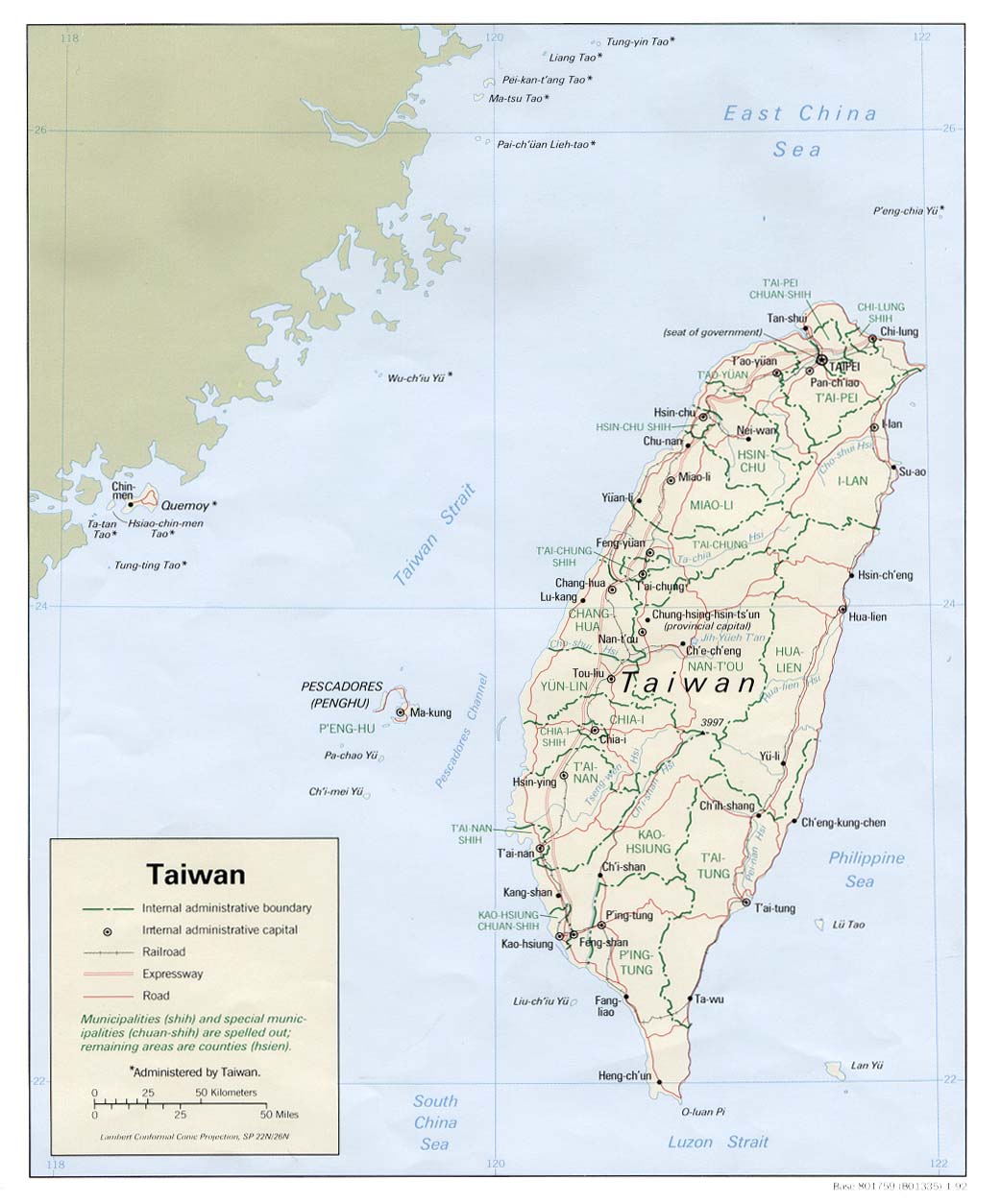
| Taiwan | province | county | Stats Stats Stats Stats | CIA Map Mgl | +08:00 | |
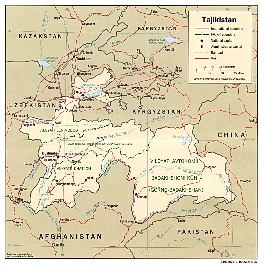
| Tajikistan | region | district | Stats Stats | Post | CIA Clik Mgl PDF | +05:00 |
| Tanzania | region | district | Stats Stats Stats Stats | CIA Map Mgl PDF PDF PDF | +03:00 | |
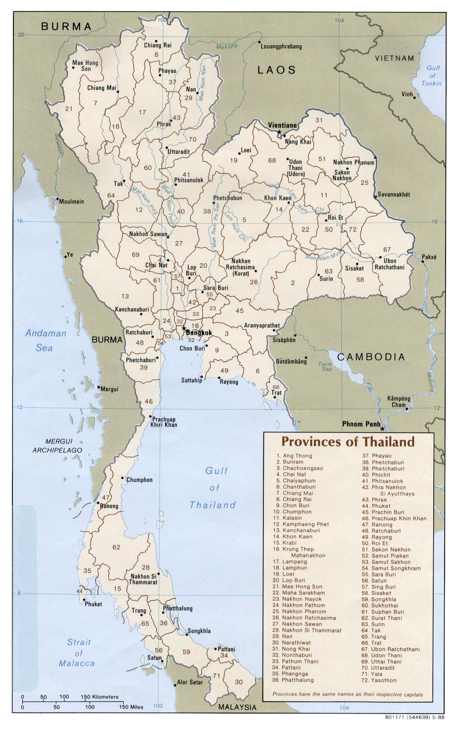
| Thailand | province | district | Stats Stats Stats Stats Stats | CIA Map Map Mgl PDF PDF | +07:00 | |
| Timor-Leste | district | subdistrict | Stats Stats | Map PDF | +09:00 | |
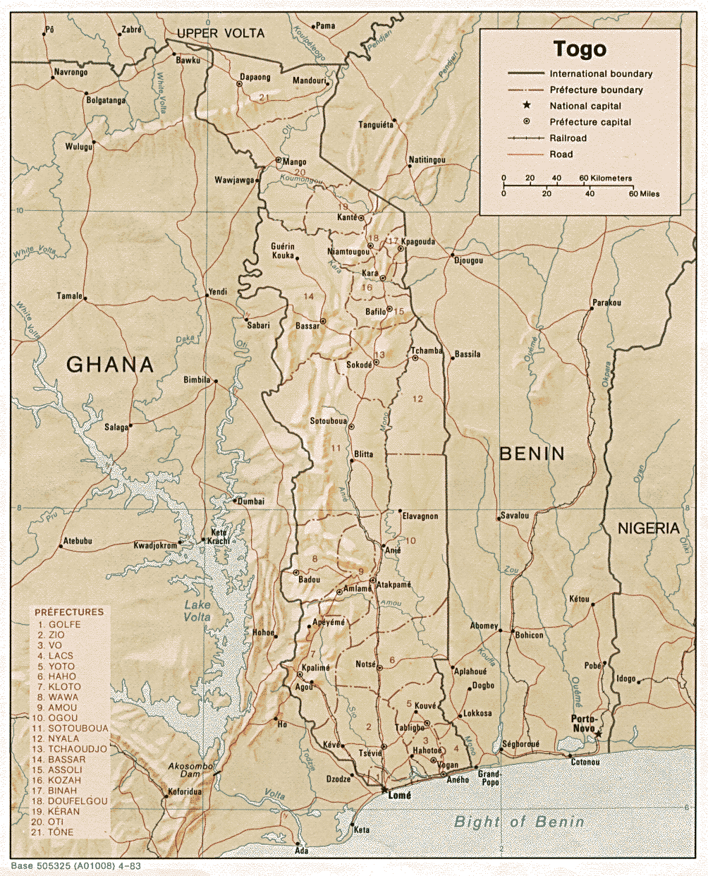
| Togo | region | prefecture | Stats | CIA Map Map Mgl PDF | 00:00 | |
| Tokelau | atoll | Stats | +13:00 | |||
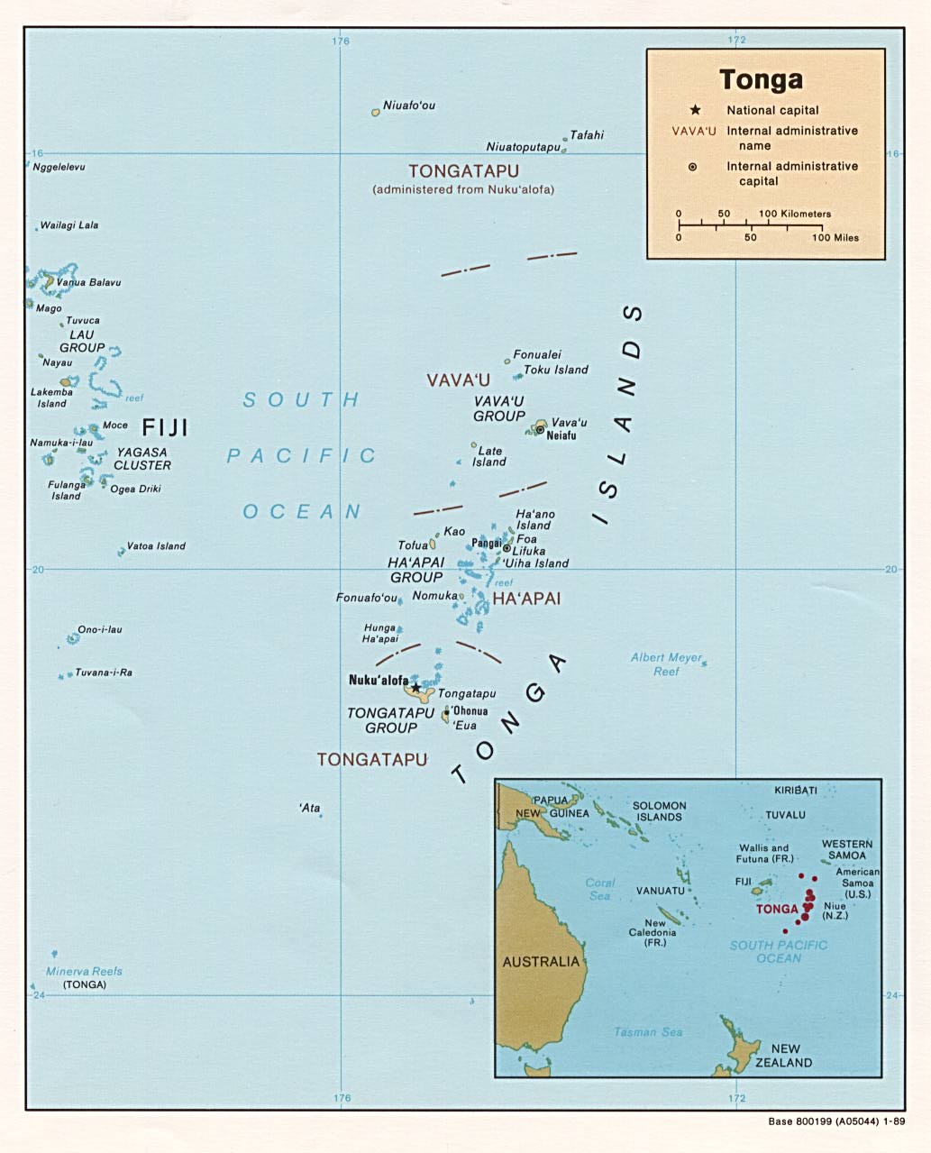
| Tonga | division | district | Stats Stats | CIA Mgl | +13:00 | |
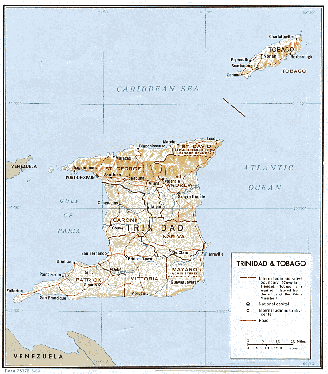
| Trinidad and Tobago | region | Stats Stats | CIA Map Mgl | -04:00 | ||
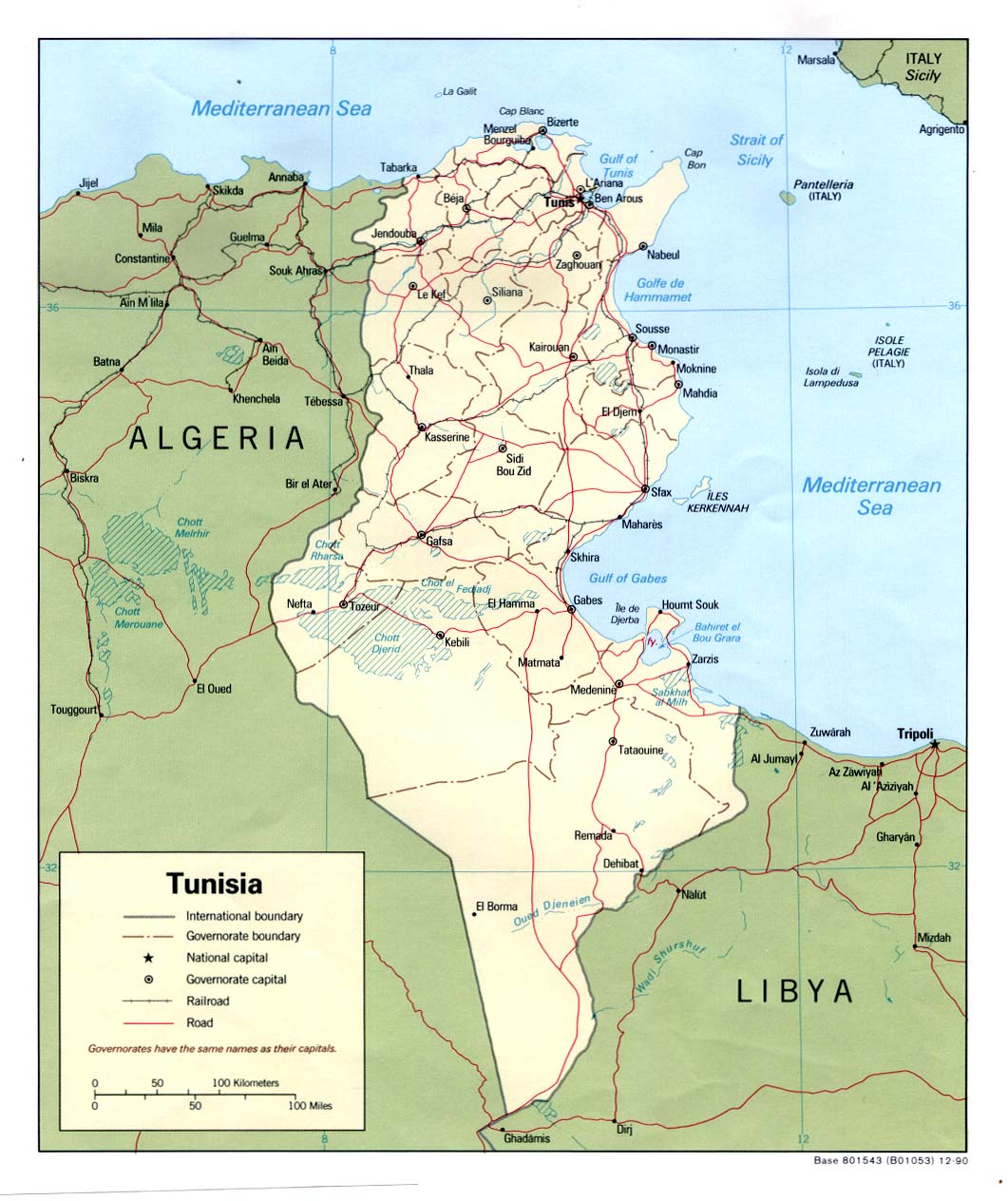
| Tunisia | governorate | delegation | Stats Stats Stats | CIA Clik Clik Map Mgl | +01:00 | |
| Turkey | province | district | Stats Stats | CIA Clik Mgl PDF | +02:00 D | |
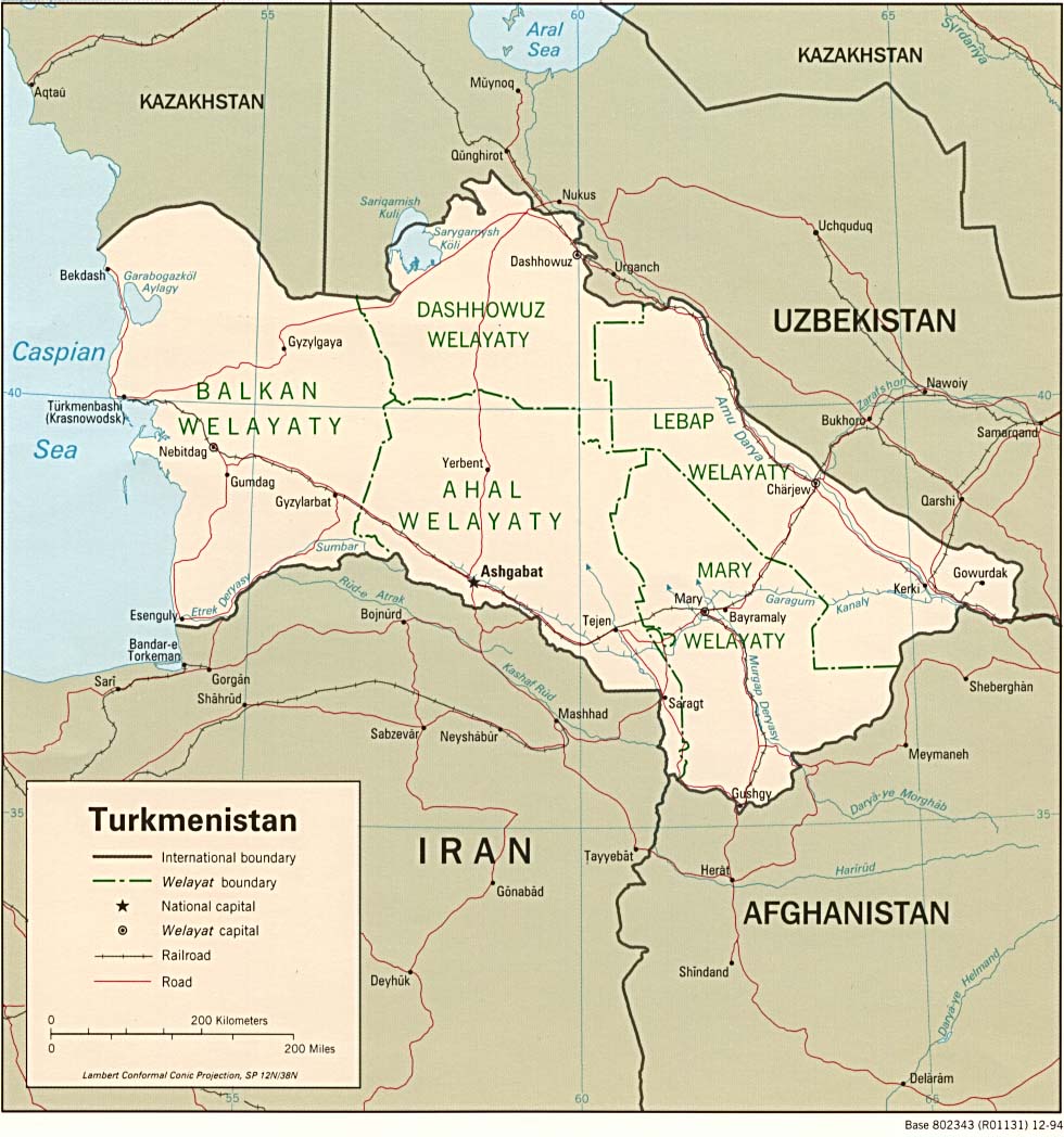
| Turkmenistan | province | district | Stats Stats | PDF CIA Mgl | +05:00 | |
| Turks and Caicos Islands | none | Stats | Map Map | -04:00 | ||
| Tuvalu | island council | Stats Stats | +12:00 | |||
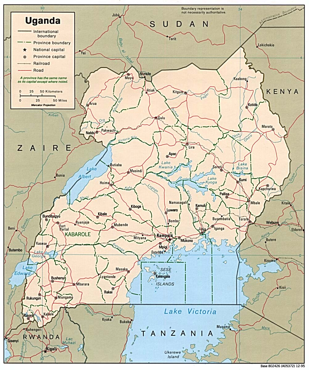
| Uganda | district | county | Stats Stats | CIA Clik Map Map Map Mgl PDF | +03:00 | |
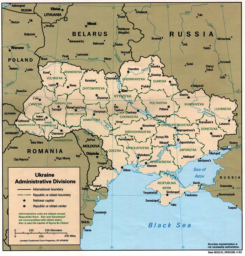
| Ukraine | region | raion | Stats Stats Stats | Post | Atlas CIA Mgl PDF PDF | +02:00 D |
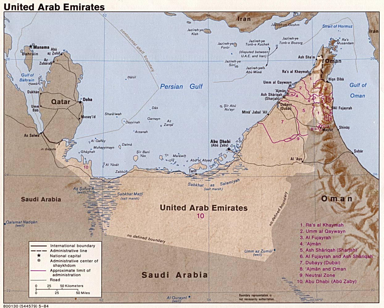
| United Arab Emirates | emirate | Stats Stats Stats | CIA Mgl | +04:00 | ||
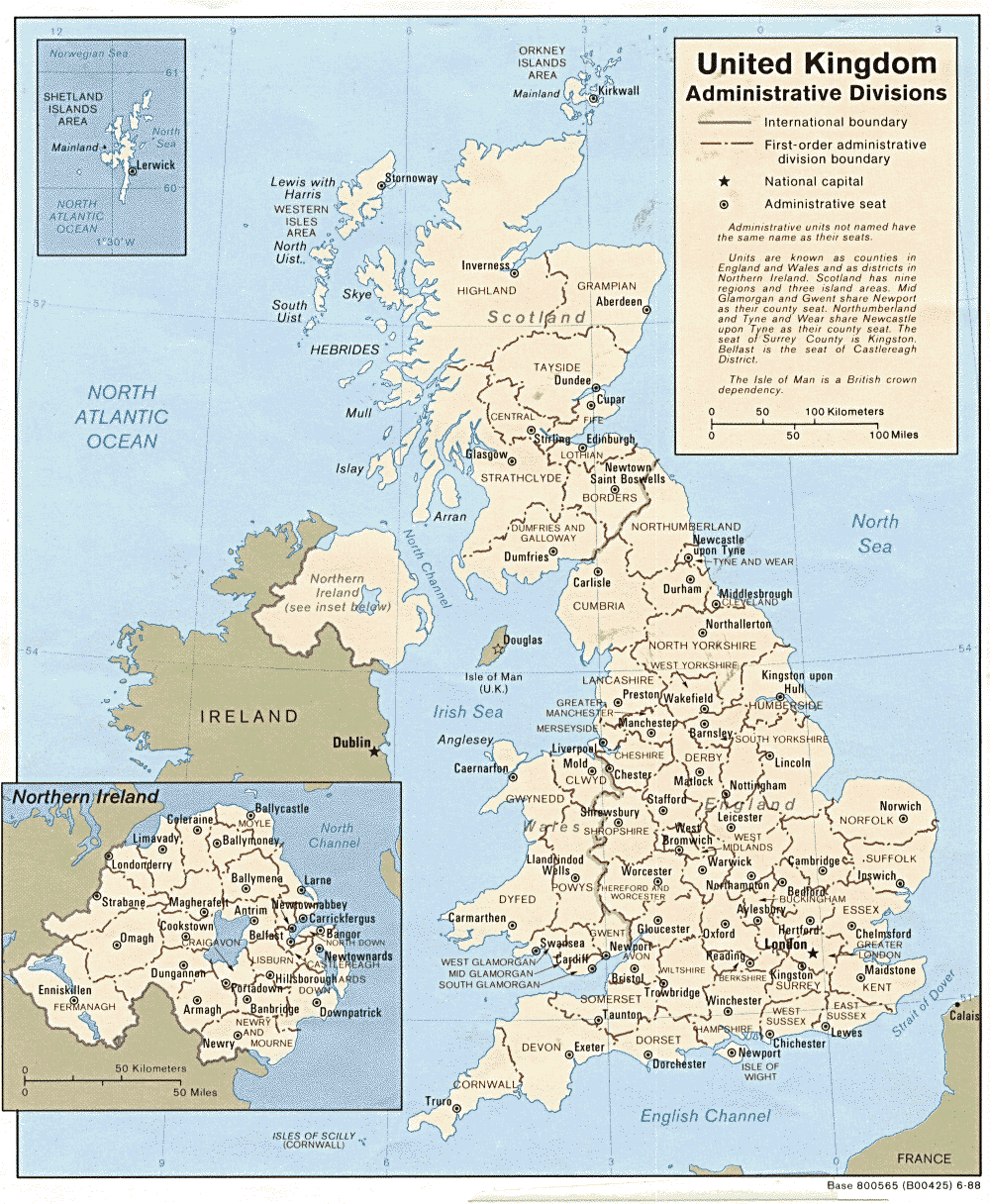
| United Kingdom | division | district | Stats Stats Stats Stats Stats Stats Stats Stats NIre NIre NIre Scot Scot Scot Wales Wales Wales | Post | Atlas Atlas CIA England E&W Scotland S&NI Wales Wales Mgl PDF | 00:00 D |
| United States Minor Outlying Islands | territory | Map | Zones | |||
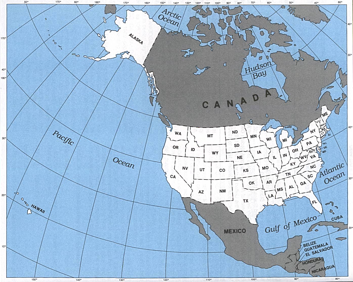
| United States of America | state | county | Stats Stats Stats Stats Stats Stats Stats Stats Stats Stats Stats Stats Stats Stats Stats Stats | Post | Atlas CIA Clik Clik Map Mgl | Zones D |
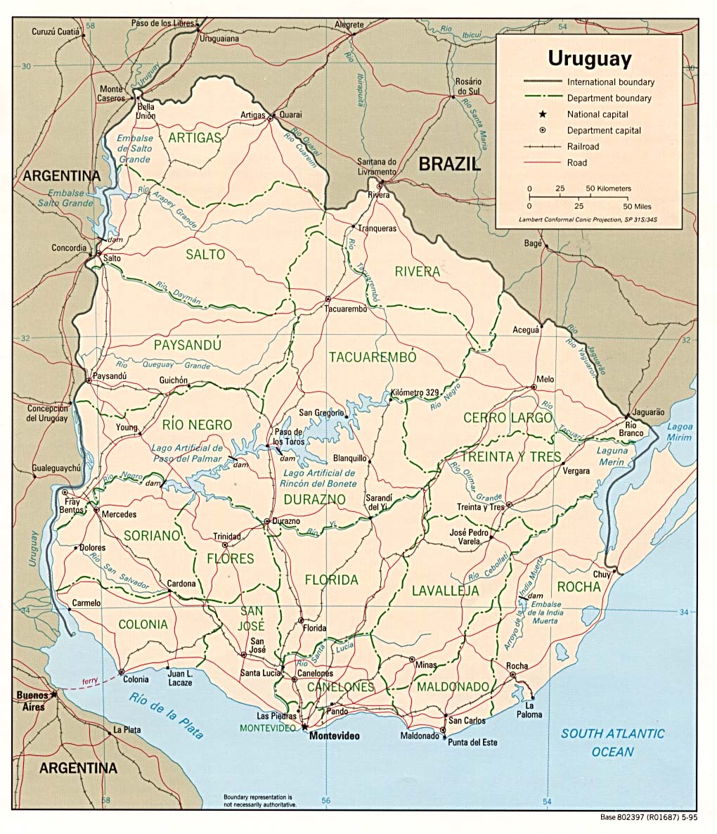
| Uruguay | department | Stats Stats Stats | CIA Map Mgl PDF | -03:00 | ||
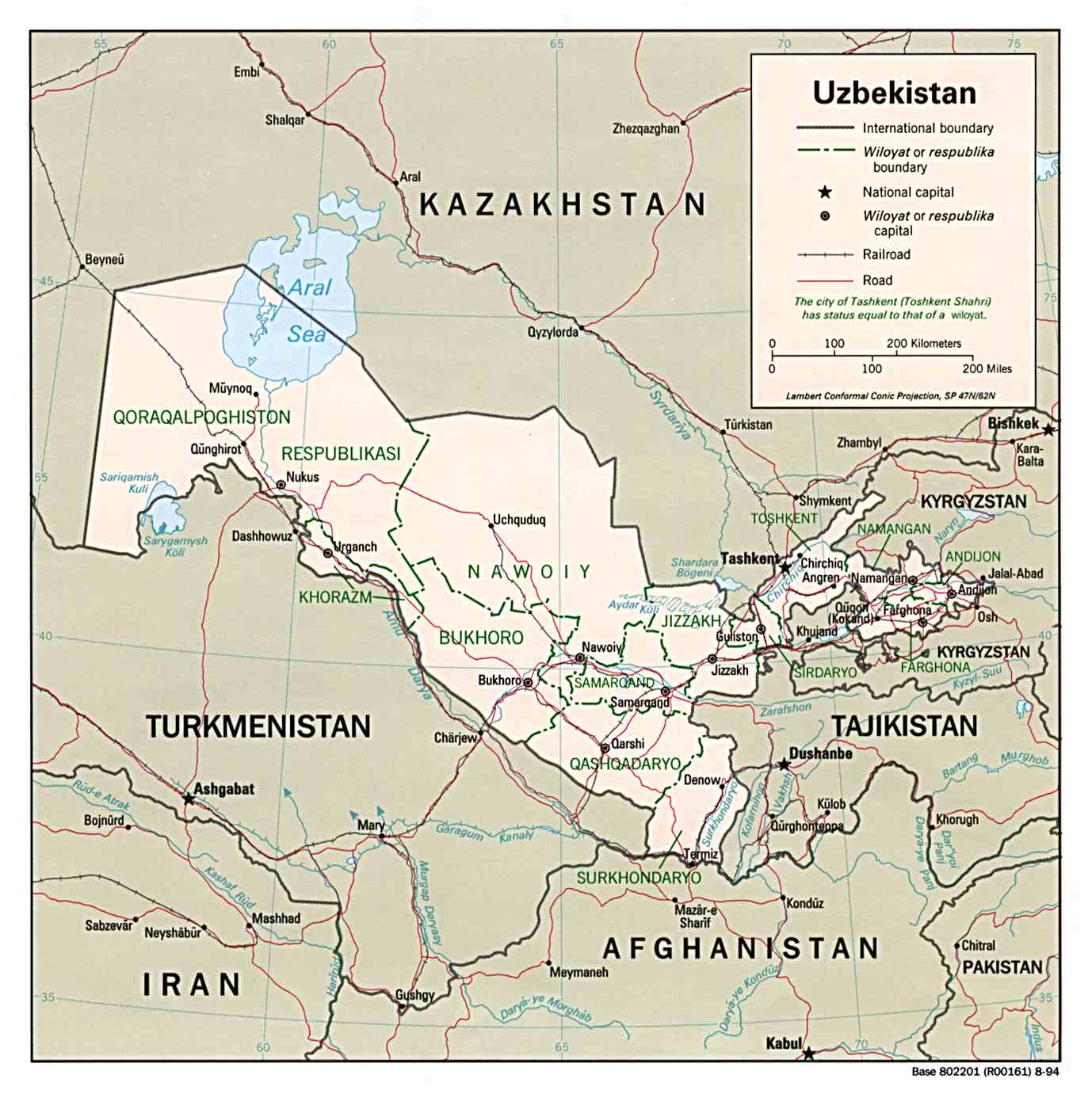
| Uzbekistan | region | district | Stats Stats | Post | PDF CIA Mgl | +05:00 |
| ||||||
| To find links for another country, click on its initial letter here: |
|
| To find out which pages on this site have recently been updated, visit the newsletter page. |
And it shall come to pass, if thou shalt hearken diligently unto the voice of the Lord thy God, to observe and to do all his commandments which I command thee this day, that the Lord thy God will set thee on high above all nations of the earth. - Deut. xxviii:1.
| Back to main statoids page | Contact me |
| Copyright © 1999-2016 by Gwillim Law. | |